
Mundy Regional Park is a network of bushland, granite outcrops and viewpoints rather than one single car park. Lesmurdie Falls is the best-known stop, but there are shorter and longer routes through the wider park. Decide on a trailhead first; a map pin labelled only ‘Mundy’ may leave you far from the walk you intended.
| Visit detail | What to know |
|---|---|
| Area | Perth Hills regional park |
| Popular feature | Lesmurdie Falls and lookouts |
| Walk range | Short lookout approaches and longer loops |
| Dogs | Check DBCA zone signs; leads required where permitted |
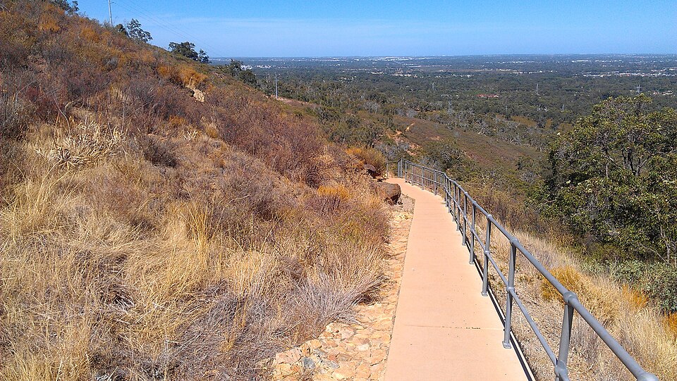
Match the trail to the day
DBCA lists several routes around the falls, including a short lookout trail and a much more strenuous loop. Separate picnic areas and viewpoints have different paths and facilities. The park also contains areas where dogs can be walked on leads according to DBCA signage; do not carry a dog rule from a national park into every part of this regional park. If someone in your group needs accessible parking or toilets, use the particular site page for the chosen trailhead.
Leave room for weather and terrain
Rock and gravel can be slippery after rain, while exposed tracks become hot on a clear day. Take water, wear sensible shoes and allow daylight for the return. Do not leave a signed path to reach a better-looking ledge. For a focused waterfall visit, our Lesmurdie Falls guide explains the shorter approach. During works or bushfire conditions, DBCA signs and current alerts take precedence over any published walking time.
.jpg)