

Cottesloe foreshore
Distance: 5.5 km for the listed route; shorter sections work.
Beach views and parks.
Perth weather
Coast
Perth's coast is easy to enjoy without making every outing a full-day hike. Compare six routes, their published distances or flexible turnaround points, path surfaces, transport and access before you go.
Last fact-checked: 2026-09-26
Perth's coast is easy to enjoy without making every outing a full-day hike. Some walks follow a promenade or shared path; others let you wander between beaches, cafés and lookouts. Pick the stretch that suits your time and how you want to get back. A five-kilometre walk becomes ten if you return on foot.
These six choices cover short seaside strolls and longer one-way walks. Distances below are official published figures where available. For the flexible walks, choose your turnaround point on a current map rather than relying on an exact distance quoted by someone else.
| Walk | Distance to plan around | What it is like |
|---|---|---|
| Cottesloe foreshore | 5.5 km for the route listed by the Town; shorter sections work | Beach views and parks |
| Scarborough to Trigg | Choose an out-and-back distance | Busy beachfront, then open coast |
| Mullaloo to Hillarys | 5 km one way on the upgraded shared path | Long paved coastal outing |
| Leighton to Port Beach | Choose a section | Wide beach and North Fremantle coast |
| Bathers Beach to South Beach | Choose a section | Fremantle heritage and a beach finish |
| Coogee Beach to the Omeo | 0.9 km one way from Coogee Beach to the wreck area | Short walk with maritime history |
Distance: 5.5 km for the listed route; shorter sections work.
Beach views and parks.
Distance: Choose an out-and-back distance.
Busy beachfront, then open coast.
Distance: 5 km one way on the upgraded shared path.
Long paved coastal outing; arrange a return or retrace the route.
Distance: Choose a section.
Wide beach and North Fremantle coast.
Distance: Choose a section.
Fremantle heritage and a beach finish.
Distance: 0.9 km one way from Coogee Beach to the wreck area.
Short walk with maritime history.
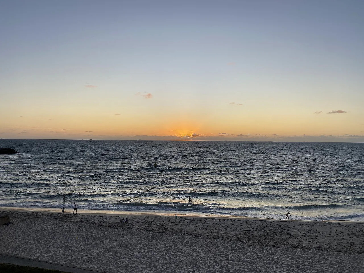
For a first coastal walk in Perth, Cottesloe is hard to complicate. Start at the main foreshore on Marine Parade and decide whether you want a beach stroll, a walk on the path or a little of both. The Town of Cottesloe lists a 5.5 km foreshore trail past beaches and parks. You can walk a smaller part without committing to the entire route. Check the Town's trail listing for the route you intend to follow.
This is a good choice if someone in your group wants to stop and watch the sea while others keep walking. Main Cottesloe has places to eat nearby. The beach itself is sand; check the specific foreshore route and access points if you need a firm, continuous surface. A Cottesloe train trip is possible, but allow for the walk between the station and the coast and check your journey on Transperth.
Start on the Scarborough foreshore, head north on the existing shared path and turn back at Trigg, or sooner if the wind or sun makes the return less inviting. Scarborough makes a lively starting point; Trigg and Clarko Reserve give you a natural place to pause before heading back. The City of Stirling describes the current coastal route continuing north beyond Trigg toward North Beach and Mettams Pool.
Part of this walk follows the path near West Coast Highway. The proposed dedicated boardwalk between Scarborough and Trigg is not a completed walk. The City's project page, updated in August 2026, says the proposal is proceeding beyond consultation to its next phase. Give other path users room, especially where pedestrians, bikes and e-rideables share the route. If you want a quieter start, begin at Trigg and walk north for a distance that suits you.
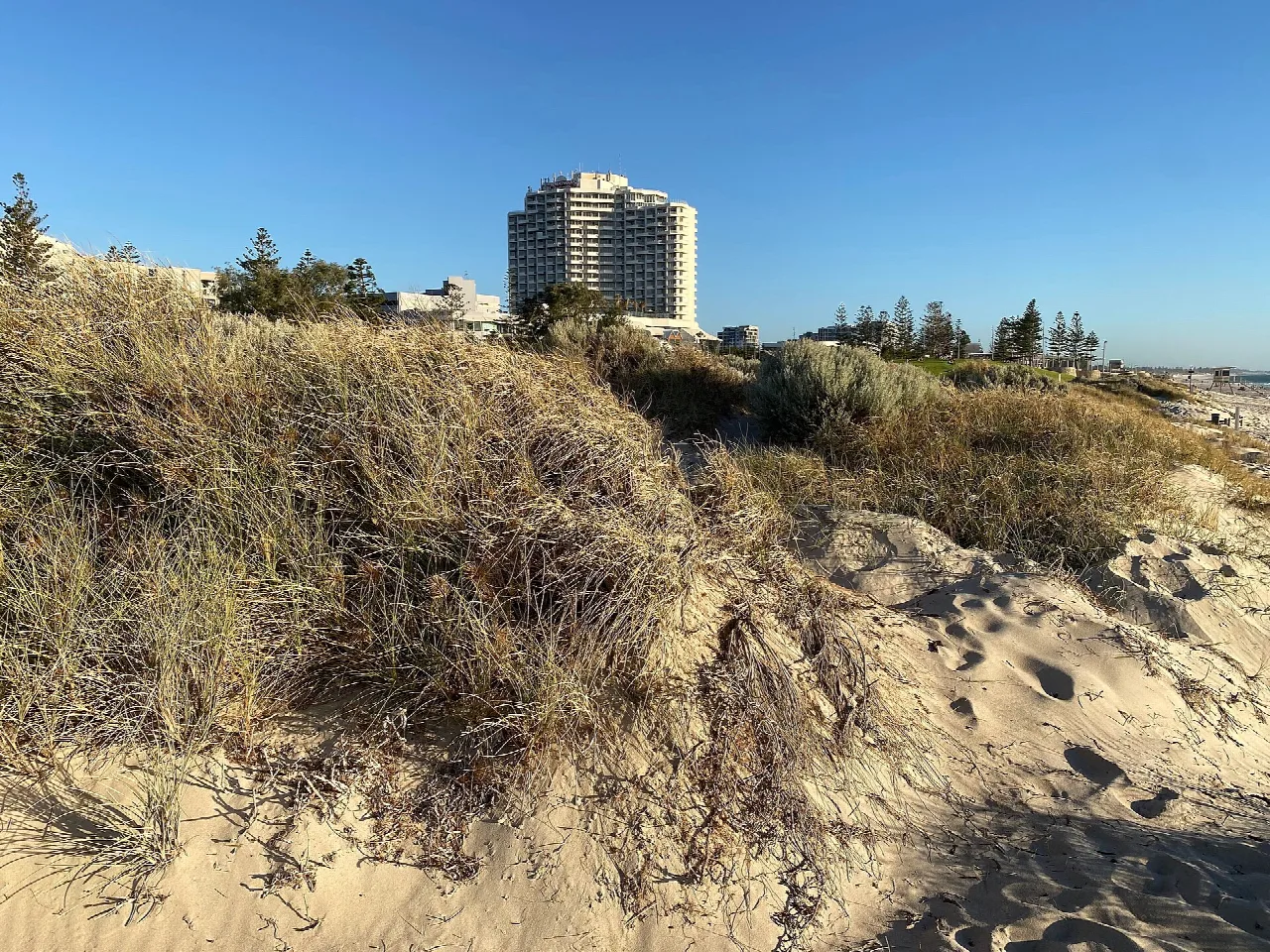
This is the clear choice for a longer walk on a formed surface. The City of Joondalup opened an upgraded five-kilometre shared path in December 2025. It runs from Northshore Drive at Merrifield Place in Mullaloo to Northside Drive at Hillarys Boat Harbour. The City says the new path is four metres wide.
Walk one way if you have a lift or a workable public-transport return. Otherwise, plan for roughly ten kilometres on foot if you complete the whole stretch and retrace it. Mullaloo offers a beach-side start, while the harbour gives you food and a place to rest. At Hillarys, follow current precinct signs: works and access arrangements can affect particular facilities or sections around the harbour. A wide path helps, but it does not confirm step-free access to every beach, stop or toilet along the way.
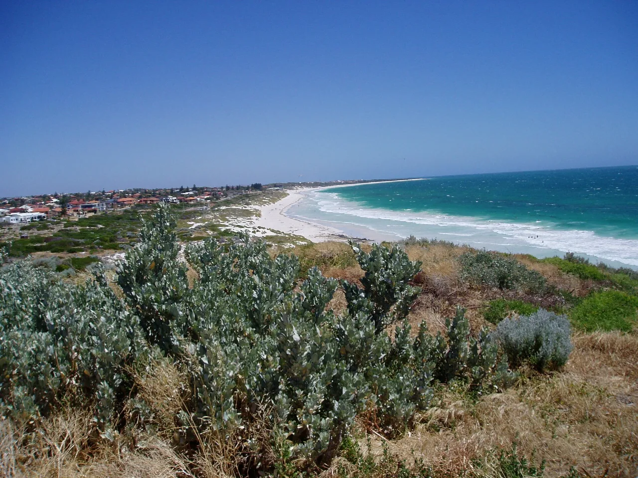
Leighton and Port Beach give you an uncomplicated North Fremantle coast outing. Walk a section of the formed coastal path or head onto the sand when conditions suit. The City of Fremantle identifies both beaches and a coastal shared path in its coastal adaptation documents. Its Leighton Beach information places Leighton close to Port Beach.
Choose your end point from a current map and check local signs before setting off. The shoreline can be affected by erosion management and temporary works. Leighton is reachable on foot from North Fremantle Station, though the distance between the station and your preferred beach access point varies. Check Transperth JourneyPlanner for your actual trip and return.
Fremantle is the walk for people who want a town as well as a coastline. Start around Manjaree/Bathers Beach and Arthur Head, pass the Fishing Boat Harbour area, then continue toward South Beach using signed public streets and waterfront paths. Parts of the journey pass working waterfront and built-up streets, so check a current route map before setting out. You can make this a short Bathers Beach visit or a longer walk ending at South Beach.
Fremantle's Bathers Beach page puts it within walking distance of Fremantle station. At the other end, South Beach Reserve has toilets, changing facilities and a café. The City describes accessible pathways around the South Beach facilities, as well as a Changing Places facility; check the current access information for equipment and arrangements before relying on them. These facilities do not mean that every part of the walk from Bathers Beach is accessible.
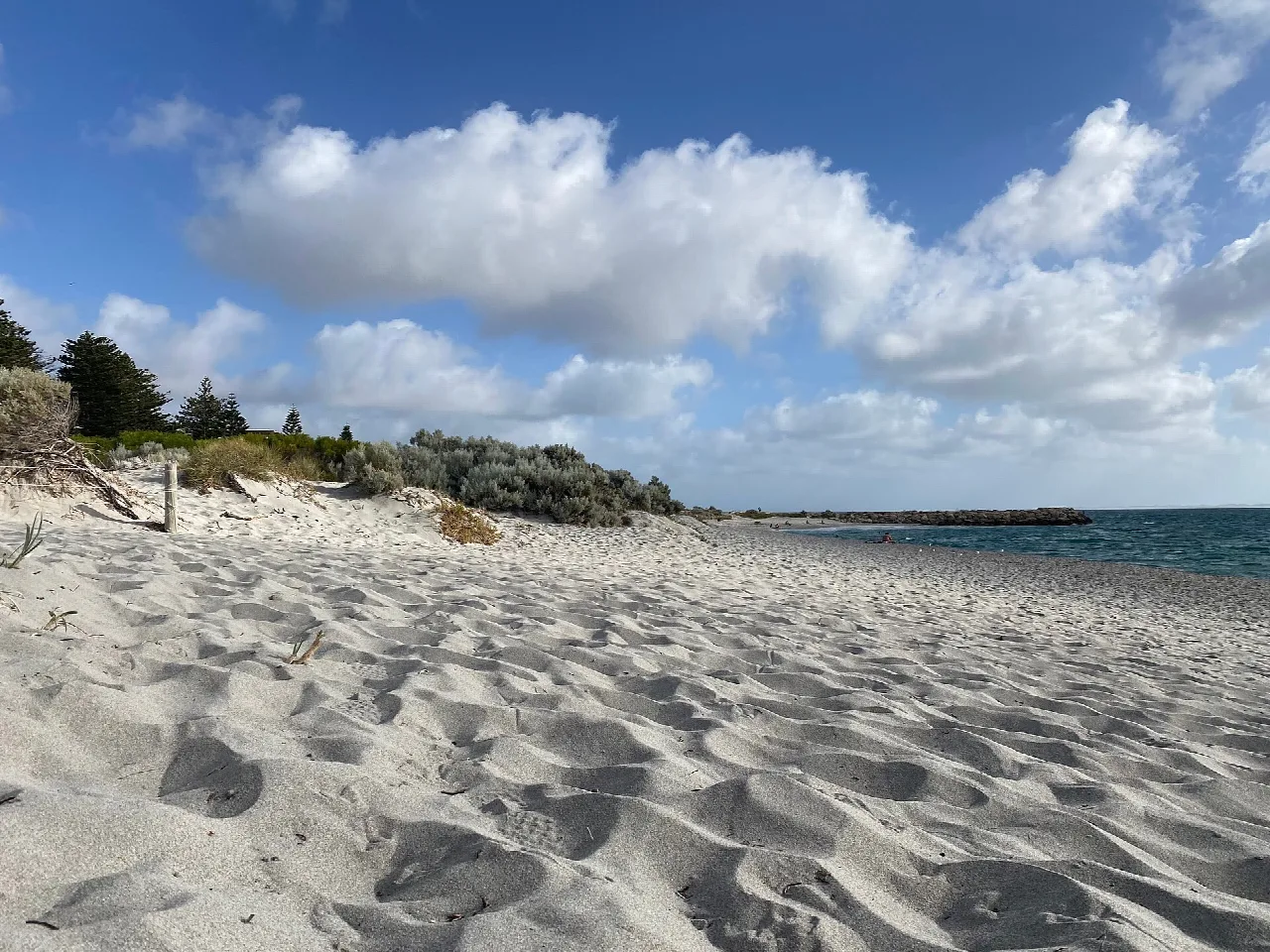
For a short walk with something to see at the far end, follow the coast from Coogee Beach toward the Omeo shipwreck area in North Coogee. The City of Cockburn lists 0.9 km from Coogee Beach to the wreck. Its Coogee Maritime Trail includes a land-based section near Socrates Parade, with interpretive signs, maritime artefacts and a view of the wreck.
The wreck is a shore-side stop; going into the water is a separate activity with its own conditions and access advice. Stay on the paths and use the formal access points rather than climbing the seawall. Parking around the trail can be limited, and the City lists facilities at Omeo Park. This is a useful route if your group wants an outing that can end with a picnic instead of a long return hike.
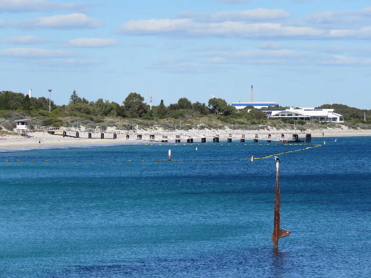
The Town of Cottesloe also lists a 21.7 km Cottesloe to Hillarys coastal route for walking, running or cycling. Treat it as a long one-way outing, not an easy beach stroll. It follows a dedicated pathway but crosses different coastal precincts, so plan water, stops and the journey home before starting. Check the Town's route listing and current local works along the sections you will use.
Cottesloe, Scarborough to Trigg, and the Coogee/Omeo area all allow you to turn back without completing a fixed circuit. Choose an access point and a return distance that works for your group.
Cottesloe and Fremantle are good places to start planning around the train. Transperth's Surf CAT links Stirling Station with Scarborough Beach. Check the day and stop in JourneyPlanner before counting on a particular connection.
The Town of Cottesloe lists a 21.7 km route. It is a substantial one-way outing with shared-path sections and changing local conditions. Arrange a return rather than assuming a short stroll back.
Some precincts have formed paths and specific accessible facilities, but sand, ramps, crossings and temporary works differ by route. The Mullaloo to Hillarys path and Omeo Park are promising starting points to investigate. Check the complete route and return transport with the relevant authority; this guide does not certify an end-to-end accessible walk.
Checked against the linked official sources on 26 September 2026. Path works, access, beach conditions and transport can change. If you find an outdated detail, send a correction.
Official source: Town of Cottesloe trails


